Quick Summary
Explore two new plat maps added to the Stearns History Museum collection.

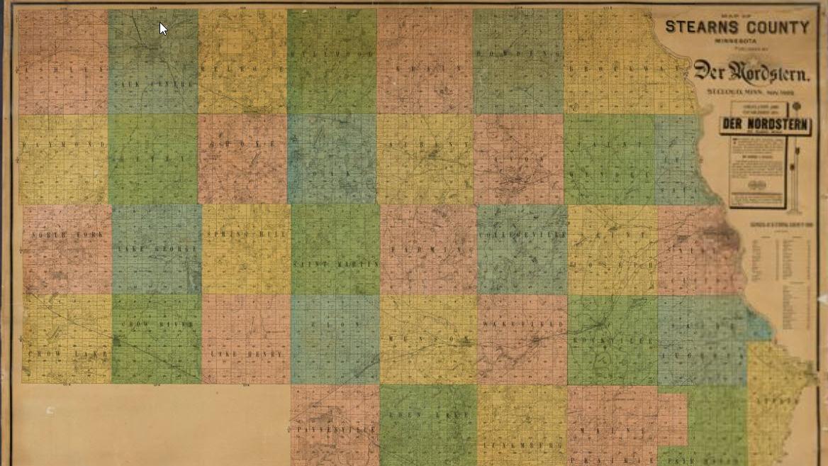
The Minnesota Digital Library is excited to announce the addition of two historic maps to the Stearns History Museum collection:
1880 Map of Stearns County Minnesota is a plat map showing early land ownship in the townships of Stearns County. The lower portion of the map provides detailed reference information on land owners and their occupations, as well as the towns in Stearns County.
1902 Map of Stearns County Minnesota is a plat map showing land ownership throught the townships of Stearns County. It was published in 1902 by the Der Nordstern. Der Nordstern (The North Star) was a weekly German-language newspaper published in St. Cloud, and served the area's large German immigrant community.

