Quick Summary
The Minnesota Digital Library recently added interactive map exhibits to place our materials in their actual locations within Minnesota. Each map features photographs and documents that help tell stories about these significant places.

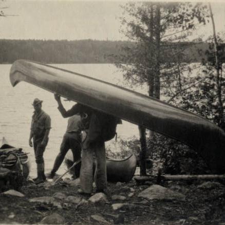
The Minnesota Digital Library (MDL) continues to add more ways for the public to access and engage with the historical content of our online collections. New this month: interactive maps that place our materials in their actual locations within Minnesota. Each map features photographs and documents that help tell stories about these significant places. These primary and secondary sources come from MDL’s contributors from all over the state.
We are launching this new map platform with two brand-new exhibits. The Carnegie Libraries in Minnesota map explores a selection of the 66 libraries in Minnesota built with funds from Andrew Carnegie’s corporation. The Mississippi River map traces the river’s path throughout the state, from Lake Itasca to the Iowa border, by bringing together pictures, maps, and documents in one exhibit. We will be adding more maps soon, including a series of regional maps that feature one item from each of Minnesota’s 87 counties.
We encourage you to discover significant places in Minnesota history with the Minnesota Digital Library’s map exhibits. You can access the maps on MDL’s new Maps Project Page.